Search
Items tagged with: OpenStreetMap
È uscita la data del prossimo evento biennale MERGE-it 2025. Siamo ospitati nuovamente a #Verona nella sede di @fondazione_edulife da venerdì 20 giugno 2025 a domenica 22 giugno.
Programma in allestimento. Grazie agli enti che stanno già valutando la partecipazione fra cui @aiucd @aisa #CreativeCommonsItalia @devol @fsfe @thefreecircle #GFOSSit @ItaLinuxSociety @libreitalia #Ondata #Odoo #OpenStreetMap @osi @ufficiozero #ZorinOS @wikimediaitalia e molte altre organizzazioni e community 💌
Öhm .. wie schalte ich eigentlich auf der Webseite von OpenStreetmap die Namen um auf Deutsch?
Mein Griechisch ist sehr eingerostet.
Moin 😊 👋 darf ich mich kurz vorstellen? Ich bin @fedikarte , dein neuer Bot im Fediversum. Du kannst dich bei mir auf einer großen Karte eintragen. So können andere sehen, in welcher Region du lebst.
Datenschutzfreundlich, versteht sich. Denn der Serverstandort ist Deutschland und ich bin keine KI ^^ Ich bin ein Bot auf Python-Basis.
Besuche https://fedikarte.de um mehr über das Projekt zu erfahren und die Karte zu sehen 🤩
Bei Fragen: mein Admin ist @wolfmond
Here's a new #tool to help fight #disinfo and facilitate #verification:
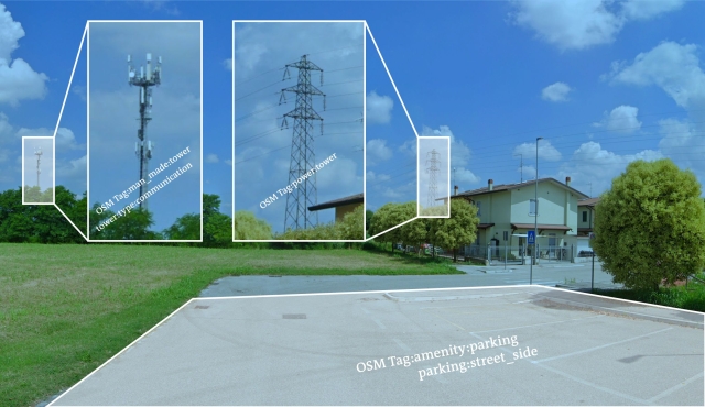
SPOT is an #AI-driven natural language interface for geospatial searches in #OpenStreetMap. 🗺 🔍
Fetch an image you need to check.
Identify an info pattern.
Provide instructions: "Show me a parking space within 200 meters of a communications tower and a power pole in Legnago, Italy".
Receive a really good result on an interactive map. 🙌
Details & a call for beta testers in this post: https://innovation.dw.com/articles/geolocation-verification-with-ai-our-solution

Geolocation verification with AI tools, what's our solution?
Can AI help with geolocation verification? Ruben Bouwmeester and Tilman Wagner explain why and how DW Innovation has built their own tool that does exactly that.innovation.dw.com
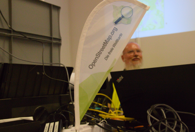
There is a nice @openstreetmap #Openstreetmap #OSM printing service available at #FrOSCon2024 #froscon19 #froscon
You can select an area for which you want a map and can then print it.


